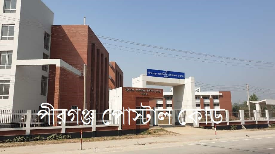
Pirganj postal code for Pirganj Upazila in the Rangpur district of Bangladesh is a crucial piece of information for residents, businesses, and anyone needing to send mail or parcels to this area. Understanding the correct postal code, also known as a post code or ZIP code, ensures efficient and accurate delivery of correspondence and goods. The primary postal code for Pirganj is 5470, which is used for most of the areas within the upazila. The postal code 5470 is used uniformly across the various unions and villages that fall under the administrative jurisdiction of the Pirganj post office.
Pirganj Postal Code
The postal code system in Bangladesh is a numerical code assigned to different regions to streamline the mail sorting and delivery process. For Pirganj Upazila, the designated postal code is 5470. This code is essential for identifying the specific geographical location of Pirganj within the larger postal network of the country. When sending any form of mail, whether it be a personal letter, official document, or a package, including the correct postal code is vital for ensuring it reaches its intended recipient without unnecessary delays. The postal code 5470 is used uniformly across the various unions and villages that fall under the administrative jurisdiction of the Pirganj post office.
Pirganj Postal Location & Area
Pirganj is a significant upazila located in the southern part of the Rangpur district in the Rangpur Division of northern Bangladesh. It is an area rich in history and culture, with a landscape characterized by fertile agricultural lands. The upazila is bordered by Mithapukur Upazila to the north, Palashbari, Ghoraghat, and Nawabganj upazilas to the south, Sadullapur Upazila to the east, and Mithapukur and Nawabganj upazilas to the west.
- Area Name: Pirganj
- Police Station: Pirganj Thana
- Upazila: Pirganj
- District: Rangpur
- Division: Rangpur
- Post Code: 5470
The central post office for the upazila is located in Pirganj town, which serves as the main hub for all postal activities in the region. From this central point, mail is distributed to the various sub-offices and delivery points throughout the upazila, all operating under the same postal code.
পীরগঞ্জ পোস্টাল কোড
পীরগঞ্জ উপজেলার পোস্টাল কোড হলো ৫৪৭০। এই কোডটি চিঠিপত্র, পার্সেল এবং অন্যান্য ডাক পরিষেবা সঠিকভাবে প্রাপকের কাছে পৌঁছে দেওয়ার জন্য অপরিহার্য। রংপুর বিভাগের রংপুর জেলার অন্তর্গত পীরগঞ্জ একটি গুরুত্বপূর্ণ উপজেলা। এর প্রশাসনিক কার্যক্রম পীরগঞ্জ থানা দ্বারা পরিচালিত হয়। আপনি যখন পীরগঞ্জে কোনওকিছু পাঠাতে চাইবেন, তখন ঠিকানা লেখার সময় অবশ্যই এই পোস্টাল কোডটি উল্লেখ করতে হবে। এটি ডাক বিভাগকে দ্রুত এবং নির্ভুলভাবে তাদের কাজ সম্পন্ন করতে সহায়তা করে। পীরগঞ্জের সকল ইউনিয়ন এবং গ্রামের জন্য এই একই পোস্টাল কোড ব্যবহৃত হয়।

পীরগঞ্জর আশেপাশের এলাকা ও উপজেলাগুলোর পোস্ট কোড
পীরগঞ্জের পার্শ্ববর্তী কিছু এলাকা এবং উপজেলাগুলোর নিজস্ব পোস্টাল কোড রয়েছে। রংপুর জেলার অন্যান্য প্রধান এলাকাগুলোর পোস্টাল কোডগুলি জানা থাকলে বিভিন্ন প্রয়োজনে তা কাজে লাগতে পারে। নিচে পীরগঞ্জের আশেপাশের কয়েকটি উপজেলা এবং তাদের পোস্টাল কোড উল্লেখ করা হলো:
- মিঠাপুকুর: ৫৪৬০
- রংপুর সদর: ৫৪০০
- পীরগাছা: ৫৪৫০
- বদরগঞ্জ: ৫৪৩০
- গাইবান্ধা সদর (পার্শ্ববর্তী জেলা): ৫৭০০
- পলাশবাড়ী (পার্শ্ববর্তী জেলা): ৫৭৩০
এই তথ্যগুলো আপনাকে রংপুর এবং এর আশেপাশের অঞ্চলের ডাক ব্যবস্থা সম্পর্কে একটি সুস্পষ্ট ধারণা দেবে।
Pirganj Postal Area
The postal services in Pirganj Upazila cover a wide range of areas, including its municipality and all 15 unions. The following table lists the areas under the jurisdiction of the Pirganj postal system.
