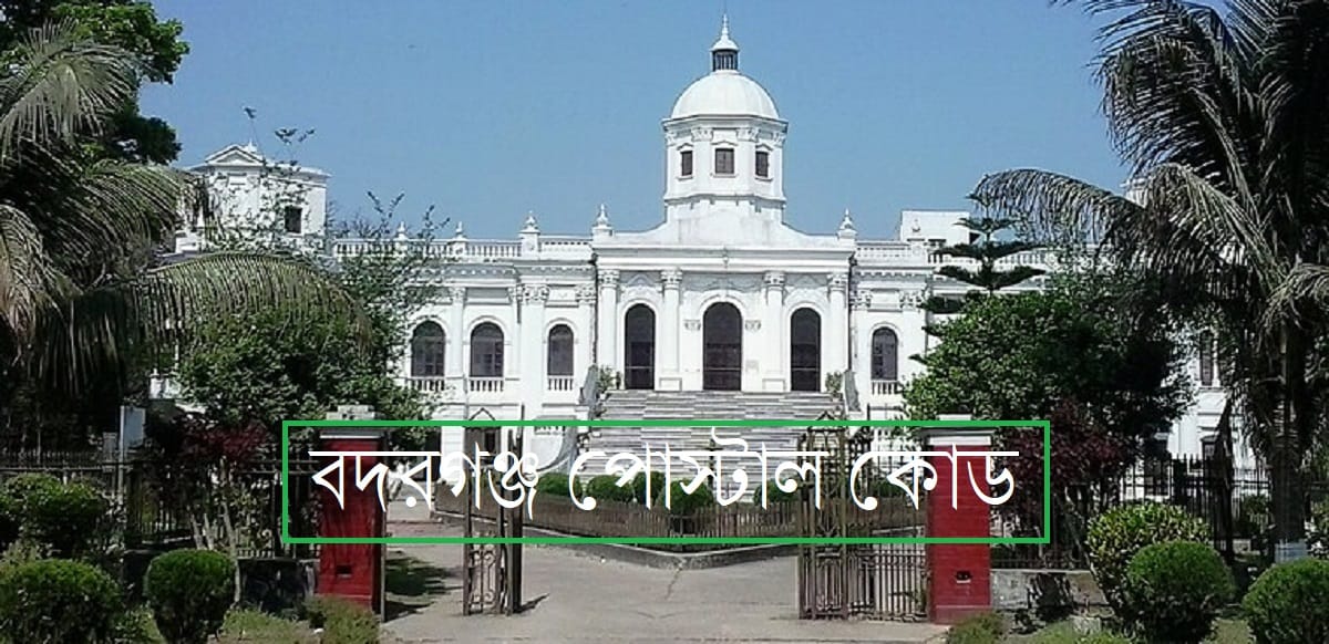
Badarganj Postal Code (বদরগঞ্জ পোস্টাল কোড) ZIP Code, Post Code, Badarganj, Rangpur. Badarganj, a significant upazila located within the Rangpur district of Bangladesh’s Rangpur Division, is a hub of administrative and socio-economic activities. A crucial piece of information for seamless mail delivery, official correspondence, and online transactions is the postal code. The primary postal code for Badarganj Upazila is 5430. This numerical code is essential for identifying the specific geographical location for the purpose of sorting and delivering mail efficiently.
Anyone sending a letter, a package, or filling out a form that requires a full address for Badarganj will need to use this designated code to ensure their correspondence reaches its intended recipient without delay. The postal system in Bangladesh, like in the rest of the world, relies on these codes for the swift and accurate processing of mail.
Badarganj Postal Code
The postal code system in Bangladesh is a four-digit numerical system implemented and managed by the Bangladesh Post Office. For the area of Badarganj, the principal postal code, also referred to as a post code or ZIP code, is 5430. This code covers the main post office in Badarganj Sadar and is used for the majority of the areas within the upazila. It is imperative for residents and businesses within Badarganj to be well-acquainted with this code for all their postal needs. Using the correct postal code is fundamental to the functionality of the mail delivery network, as it minimizes the chances of misrouting and significantly speeds up the delivery process.

Postal Details of Badarganj UPO
Division: Rangpur
District: Rangpur
Police Station: Badarganj
Post Office: Badarganj UPO
Post Code (Zip Code): 5430
Badarganj Postal Location & Area
Badarganj Upazila is an important administrative region in the Rangpur District, situated in the northern part of Bangladesh. Geographically, it lies approximately between the coordinates of 25°40′ North latitude and 89°03′ East longitude. The upazila encompasses a substantial area of approximately 301.29 square kilometers (which is about 116.33 square miles). It is bordered by Taraganj Upazila to the north, Mithapukur Upazila to the east and south, and Nawabganj and Parbatipur upazilas of Dinajpur District to the west. The landscape of Badarganj is characterized by its fertile agricultural land, crisscrossed by rivers and canals, which play a vital role in the local economy and way of life.
Learn more: Rajphulbaria Postal Code (রাজফুলবাড়িয়া পোস্ট কোড ) ZIP code, Post Code, Dhaka Savar
বদরগঞ্জ পোস্টাল কোড
বদরগঞ্জ উপজেলার জন্য নির্ধারিত প্রধান পোস্টাল কোড হলো ৫৪৩০। এই কোডটি বদরগঞ্জ সদর ডাকঘর এবং এর আওতাধীন বেশিরভাগ এলাকার জন্য প্রযোজ্য। বাংলাদেশে চিঠিপত্র, পার্সেল এবং অন্যান্য দাপ্তরিক কাজে সঠিক ঠিকানা প্রদানের জন্য পোস্টাল কোড একটি অপরিহার্য অংশ। বদরগঞ্জের বাসিন্দা এবং ব্যবসায়ীদের জন্য এই কোডটি জানা অত্যন্ত গুরুত্বপূর্ণ। সঠিক পোস্টাল কোড ব্যবহার করলে ডাক বিভাগের পক্ষে দ্রুত এবং নির্ভুলভাবে চিঠিপত্র ও অন্যান্য সামগ্রী বিলি করা সম্ভব হয়। তাই, যেকোনো ধরনের যোগাযোগের ক্ষেত্রে ঠিকানা লেখার সময় নামের সাথে এই পোস্টাল কোডটি উল্লেখ করা আবশ্যক।
বদরগঞ্জ অন্যান্য পোস্ট কোড
বদরগঞ্জ উপজেলার অন্তর্গত বেশিরভাগ এলাকার জন্য প্রধান পোস্টাল কোড ৫৪৩০ ব্যবহৃত হলেও, একটি নির্দিষ্ট এলাকার জন্য একটি ভিন্ন পোস্টাল কোড রয়েছে। উপজেলার শ্যামপুর এলাকার জন্য নির্ধারিত পোস্টাল কোড হলো ৫৪৩১। এই সাব-পোস্ট অফিসের মাধ্যমে শ্যামপুর এবং তার আশেপাশের অঞ্চলের ডাক সেবা প্রদান করা হয়। সুতরাং, যারা শ্যামপুর এলাকায় চিঠি বা পার্সেল পাঠাতে চান, তাদের অবশ্যই ৫৪৩১ পোস্টাল কোডটি ব্যবহার করতে হবে। এটি মনে রাখা জরুরি যে, সঠিক পোস্ট কোড ব্যবহারে ডাক পরিষেবা আরও কার্যকর ও গতিশীল হয় এবং প্রাপকের কাছে দ্রুত পৌঁছানো নিশ্চিত করে।
- শ্যামপুর (Shyampur): ৫৪৩১
Badarganj Postal Area
The postal code 5430 for Badarganj serves a wide and diverse area. This includes the Badarganj Municipality (Pourashava) and the ten unions that constitute the upazila. These unions are Radhanagar, Gopinathpur, Ramnathpur, Damodarapur, Madhupur, Kutubpur, Bishnupur, Kalupara, Lohanipara, and Gopalpur. Each of these unions consists of numerous villages and mouzas, all of which fall under the purview of the Badarganj postal administration. Whether you are in the bustling town center of Badarganj or in a remote village within one of its unions, the postal code 5430 is the standard for ensuring your mail is correctly routed through the Badarganj Post Office. For the specific area of Shyampur, however, the postal code 5431 should be used.
| এলাকা (Area) | পোস্ট কোড (Postal Code) |
| শ্যামপুর | ৫৪৩১ (5431) |
| বদরগঞ্জ পৌরসভা এবং বাকি সকল ইউনিয়ন | ৫৪৩০ (5430) |
Google Map for Badarganj Area:
A visual representation and detailed layout of the Badarganj Upazila area can be found and explored using Google Maps. This tool allows for an interactive experience where one can view the specific locations of the municipality, the various unions, local landmarks, and the general geography of the region. It is a valuable resource for understanding the administrative boundaries and for navigating within the upazila.
FAQs
What is the main postal code for Badarganj?
The main postal code for Badarganj Upazila is 5430.
Is there any other postal code for areas within Badarganj?
Yes, the postal code for the Shyampur area within Badarganj Upazila is 5431.
Which district is Badarganj in?
Badarganj is an upazila in the Rangpur District of Bangladesh.
What is the area of Badarganj Upazila?
Badarganj Upazila covers an area of approximately 301.29 square kilometers.
How many unions are there in Badarganj Upazila?
There are ten unions in Badarganj Upazila, along with one municipality. The postal code 5430 is used for all these unions, with the exception of Shyampur.
